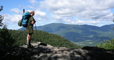
How to Plan for the Appalachian Trail
If you’re interested in starting your own long-distance hike on the Appalachian Trail, here are a few resources to help plan.
The Appalachian Trail Conservancy
The Appalachian Trail Conservancy is the non-profit that oversees the trail and is a good place to start, with interactive digital maps, print maps and tons of useful information. There are approximately 165,000 white blazes marking the trail between Georgia and Maine. The trail is so well marked in places that many people forego using maps and instead use a guide like the A.T. Guide. But I’m old-fashioned and prefer topographical maps for planning and in case things go sideways. appalachiantrail.org
The A.T. “AWOL” Guide
Published annually, the A.T. guide has waypoints for the entire trail from Georgia to Maine. It also has helpful information on shuttles, hiker hostels, town maps, and resupply points. North and southbound editions are available. I carried a PDF edition on my phone that I could reference when needed. Various other open-source guides are available, but nearly every hiker I met used this guide. theatguide.com
Guthook Trail Guide Apps
For the more technically inclined. The Guthook app downloads a full map of the trail to your device. The maps include interactive elevation profiles, photos, virtual trail registers, and thousands of points of interest curated by experienced hikers. guthookhikes.com
Reddit has a very active hiking community that will give you no shortage of advice on everything from gear to route selection. The subreddit community members will also post updates and alerts during the hiking season. reddit.com/r/appalachianTrail/
White Blaze
Whiteblaze.net is a community of Appalachian Trail enthusiasts and you’ll find all manner of reading material here in order to prepare yourself. You can sign up for rideshares, get feedback on reducing your pack weight and share stories and photos. I picked up first aid guides and advice on scheduling mail drops here. whiteblaze.net
Photo by Evan Johnson: Johnson celebrates the end of his 1,167-mile trek on the summit of Katahdin.