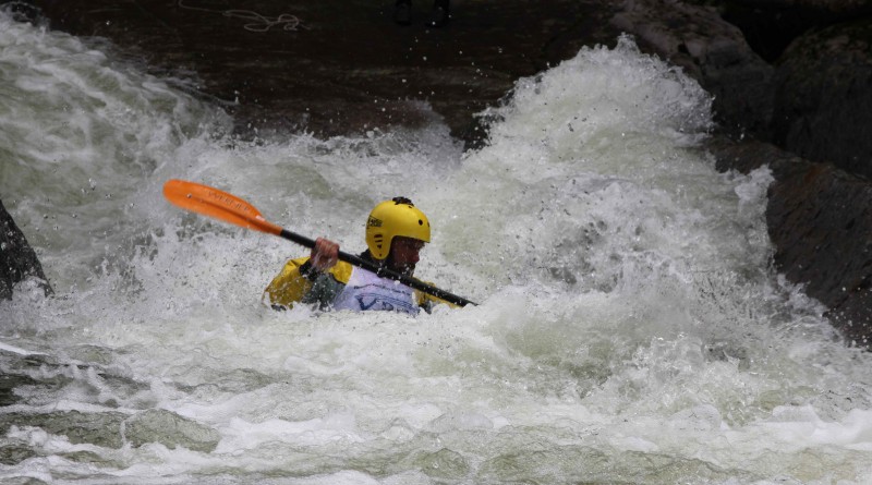
Stretches of springtime whitewater
While the rivers and streams are running high and fast, we looked through data and trip reports for the latest intelligence on where to go. Check with American Whitewater, the Vermont Paddlers Club or the Northeast Paddlers Message Board for updates on the latest conditions and flow rates.
Big Branch River: Big Branch Trail to Tabor Mountain Road Bridge
Length: 1.3 miles
Class: V+
Nearby city: Danby
Seasoned paddlers looking for a sustained and unrelenting challenge should seek out this section of the Big Branch that flows at 400 feet per second. A proving ground for New England creek paddlers, this is one run that demands total concentration and solid technique and judgment with multiple lines over several drops.
Ball Mountain Brook: Metcalf Road to Jamaica State Park
Length: 3.5 miles
Class: III-IV
Nearby city: Jamaica
When the water runs high, this brook becomes known as “The Jamaica Bobsled Run.” Catch this class 3-4 run during springtime snowmelt and you’ll see why. The run can be scouted and accessed by Pikes Falls Road, which runs parallel to the brook. The best time to catch this run is after heavy rainfall or in September during the dam’s annual release.
Connecticut River: Sumner Falls
Length: .25 miles
Class: III
Nearby city: Hartland
Also called Hartland Rapid, this section of the Connecticut River is a popular play-boating area for paddlers of all levels. The rapid is run-able at most levels and can hold the interest of beginners content to stay in the eddies, intermediates who want to challenge themselves and advanced paddlers who just want to show off. This is a reliable and relaxed rapid to practice and play.
Winooski River: Middlesex to Waterbury
Length: 5.5 miles
Class: I-II
Nearby city: Middlesex
The Winooski is a narrow, scenic run in northern Vermont that holds its water well into the summer. The rapids are mostly easy and there are significant stretches of flatwater, during which you can enjoy the views.
Mad River: First Hydro dam to Winooski River
Length: 2 miles
Class: II-III+
Nearby city: Waitsfield
The most common class III on the lower Mad is from the hydroelectric dam to the confluence of the Winooski River. The run parallels Vermont 100B, for easy scouting and access. The put-in features a straightforward shot around large boulders. The rapids really begin after the 100B bridge and eventually lead to Horseshoe falls, a technical, six-foot drop with a recirculating hole at the bottom. That, or you could opt to portage around.
North Branch Lamoille: Belvedere to Waterville
Length: 5 miles
Class: IV
Nearby city: Waterville
This run starts with a class IV fall above a bridge. After the fall, water is mostly calm, with some class 3 ledges just above the 109 Bridge. After more flatwater, more class 3 rapids await, which continue for about 1 kilometer before the first option for a take out at a covered bridge in Waterville. For an optional extension, continue under the bridge for a class 3 ledge followed by areas for excellent play boating.
New Haven: West Lincoln to Rte. 116 Bridge
Length: 1.3 miles
Class: IV+
Nearby city: Bristol
This section of the New Haven River, called the New Haven Ledges, is a classic Vermont creek run and the home to the Vermont Paddling Club’s annual race. The put-in is littered with rock gardens that lead down to the ledges. Following fast-moving water, a few more boulders lead to a short pool above “The Toaster,” a 15-foot drop with a simple line down the center. This is followed by continuous rapids with boulder gardens all the way to the take-out. The lower New Haven below the Route 116 bridge is significantly easier and a popular play boating spot. The biggest rapid occurs where the river plunges over some boulders beneath a bridge on the outskirts of Bristol. After this drop, the river is totally continuous for the next mile down to the takeout.
Editor’s note: As always, scout the river before putting in as conditions change rapidly, paddle within your skill limits and paddle with others.

