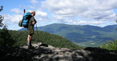
The Sound of Silence | 5 Places to Find Quiet Water for Paddling
As John Hayes and Alex Wilson write in their book Quiet Water: New Hampshire and Vermont, published by the Appalachian Mountain Club, “Quiet waters—lakes, ponds, estuaries, and slow-flowing streams—receive much less attention than white-water rivers. If you seek the adrenaline rush of paddling cascading rivers, there are plenty of excellent resources—but this [their book] is not one of them. The peaceful solitude of out-of-the-way lakes and ponds lures us to quiet-water paddling. … With quiet-water paddling, you can focus on being there instead of getting there. You do not need a lot of fancy high-tech gear—although a light canoe or kayak makes portaging over beaver dams a lot easier. Binoculars and field guides to fauna and flora make up our most important gear.”
We devote a lot of space in Vermont Sports to active, adrenaline-fueled pursuits, but it is important to remember the quiet ways to enjoy our beautiful surroundings as well. Here are six suggestions for places to paddle quietly. Special thanks to the Appalachian Mountain Club for permission to reprint these suggestions.
How to Go (Quietly)
A few favorite spots in Vermont, excerpted from From Quiet Water New Hampshire and Vermont, 3rd edition, 2010. Reprinted by permission of Appalachian Mountain Club Books.
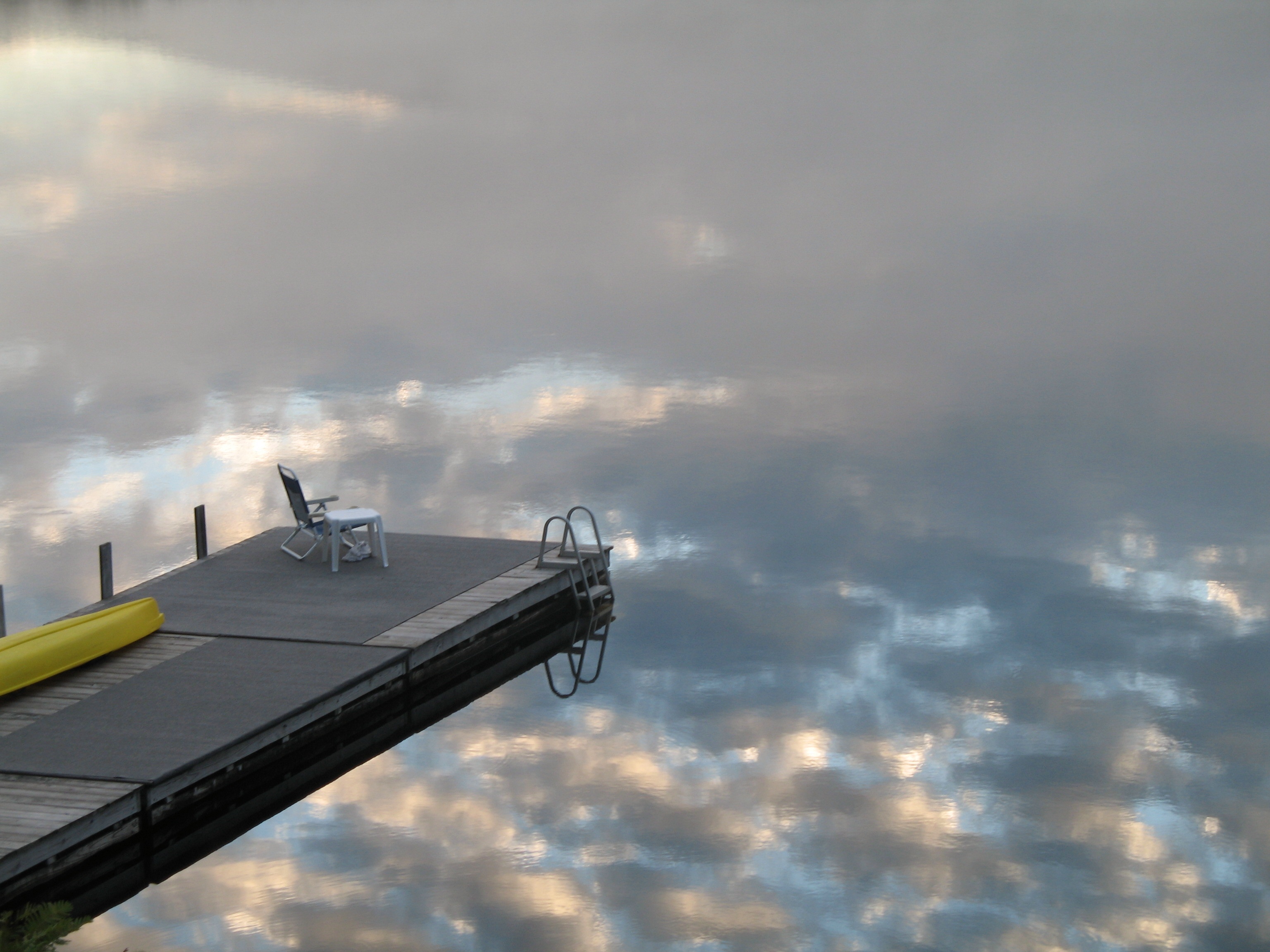
Green River Reservoir
Location: Eden and Hyde Park
Maps: Vermont Atlas & Gazetteer, Map 47: B8; USGS Eden, Morrisville
Area: 863 acres
Time: 2 days minimum
Habitat Type: Large lake with many islands and inlets
Fish: Smallmouth bass, pickerel, yellow perch
Information: Green River Reservoir State Park, vtstateparks.com
Camping: Green River Reservoir State Park; see Appendix A, #37
Take Note: Gasoline motors prohibited
What You’ll See
Green River Reservoir remains the premier paddling destination in Vermont and a real treasure for remote-camping enthusiasts. The park includes 5,110 acres of surrounding forest, managed for recreation and as habitat for moose and bear. Red maple, yellow birch, white pine, hemlock, balsam fir, sugar maple, and white birch populate most of the lake’s heavily wooded shoreline. Look for mountain ash, with its brilliant orange berries in fall, and hop hornbeam, along with lots of understory viburnum and other shrubs.
Ospreys nest here, and a tributary creek hosts a great blue heron rookery. Green River Reservoir is one of the few bodies of water in Vermont where loons have nested successfully since the 1970s. The state marks off nesting sites, and we all should stay well away from these areas.
Reluctantly, we have to recommend that you stay away on popular summer weekends; better yet, visit in spring or after Labor Day.
Somerset Reservoir
Location: Somerset and Stratton
Maps: Vermont Atlas & Gazetteer, Map 21: C13; USGS Mount Snow, Stratton Mountain
Area: 1,597 acres
Time: All day
Habitat Type: Large lake
Fish: Smallmouth bass, pickerel, yellow perch, brook trout
Camping: Woodford State Park, Molly Stark State Park; see Appendix A, #17, #18
Take Note: Personal watercraft, water-skiing prohibited; 10 mph speed limit; waves can be treacherous under windy conditions
What You’ll See
Looking for some real exercise in beautiful surroundings? Try a day on Somerset Reservoir in southern Vermont. Rolling mountains—including Mount Snow, its northern face visible from most of the lake—bound this long, narrow lake on the upper reaches of the Deerfield River. The lake extends roughly five miles from the dam to the northernmost point, the East Branch of the Deerfield River inlet. Another arm extends farther to the east, fed by the Grout Pond outlet. A number of islands dot the lake’s northern extension, including Streeter Island, maintained as a picnic area. To explore the whole 16-mile perimeter requires a full day. If you tend to stop frequently to enjoy wildlife—we watched a mink drag a pumpkinseed sunfish almost as large as itself along the shore—you may have trouble getting all the way around in a day.
May Pond

Location: Barton
Maps: Vermont Atlas & Gazetteer, Map 54: I3; USGS Sutton
Area: 116 acres
Time: 2 hours, longer if you study plants and observe wildlife
Habitat Type: Small, marshy pond
Fish: Brook trout
Information: The Nature Conservancy, nature.org
Camping: Brighton State Park; see Appendix A, #39
Take Note: Gasoline motors prohibited
What You’ll See
Located in Vermont’s Northeast Kingdom about a half-hour drive from Lake Willoughby, this little-known pond offers great wildlife viewing in a relatively pristine environment. Although small, May Pond sports a highly varied shoreline and seems much larger. Try to visit here early morning or late afternoon, when wildlife-viewing opportunities peak. For about an hour here one August evening around dusk, we watched a family of four otter diving for crayfish and munching on them at the surface. Look for beaver, nesting loons, and osprey.
The two cabins located near the access and the nearby rolling farmland do not spoil the remote feeling of the pond. The marshy shoreline supports lots of pond vegetation (water shield, water lily, cattail, sedge, and the like), backed by densely grown and fairly impenetrable shrubs (heath, winterberry, and alder). Farther back on solid ground grow red spruce, balsam fir, white and yellow birch, red maple, and hemlock. At the shallower, more fenlike southern end of the pond, tussocks of sphagnum moss, sundew, and the thick muck of decomposing vegetation stirred up by your paddle stand ready to greet you. In spring, laurel blooms in the understory, and in midsummer you may be able to enjoy a snack of wild blueberries. Look for the huge beaver lodge here—likely the home of many generations of beaver.
Peacham Pond

Location: Peacham
Maps: Vermont Atlas & Gazetteer, Map 41: A14; USGS Marshfield
Area: 331 acres
Time: 4 hours
Habitat Type: Scenic mountain pond but with some development
Fish: Yellow perch, brown trout
Information: Groton State Forest map, vtfpr.org
Camping: New Discovery State Park, Stillwater State Park, Ricker Pond State Park, Big Deer State Park; see Appendix A, #31, #32, #33, #34
Take Note: Personal watercraft allowed
What You’ll See
Situated on the northern edge of Groton State Forest and nestled beneath the rolling mountains of north-central Vermont, Peacham Pond enjoys a gorgeous setting such as those seen on postcards. In the autumn, nothing beats drifting lazily, just absorbing the beauty: deep reds and yellows of shoreline vegetation contrasting with the rich blue of the pond and sky. Even the moderate development at the western and eastern ends seems somehow all right, although on a warm summer afternoon, the motorboat, personal watercraft, and water-skiing traffic can be a bit much. We recommend paddling elsewhere on summer weekends.
By paddling around to the northern end, you can get away from most of the motorboats and nearly all the houses. This much shallower section has deep marshy coves, islands, and superb wildlife habitats to explore, especially the large horsetail (Equisetum) marsh in the northeastern cove. Two loon pairs nest regularly, one here and one in the south cove. Because Peacham is one of the few Vermont bodies of water with successful loon breeding, we fail to understand why the Vermont Natural Resources Board allows personal watercraft and high-speed boating on this pond.
Poultney River
Location: West Haven
Maps: Vermont Atlas & Gazetteer, Map 28: D3; USGS Benson, Putnam, Thorn Hill, Whitehall, N.Y.
Length: 8 miles one way
Time: 3 hours one way
Habitat Type: Shallow, muddy, meandering river
Fish: Northern pike, walleye, smallmouth bass, white and yellow perch
Information: The Nature Conservancy, nature.org; Ward Marsh Wildlife Management Area, vtfishandwildlife.com
Camping: Bomoseen State Park, Half Moon State Park; see Appendix A, #22, #23
Take Note: Access road along the river sometimes impassable because of standing water
What You’ll See
The slow-flowing, meandering Lower Poultney River runs muddy because of silty soils. The Nature Conservancy has preserved much of the shoreline as the Lower Poultney River Natural Area, comprising 251 acres in Vermont and 2,000 acres in New York, so no development occurs along the shores, although a little-used road extends along the Vermont side for much of the distance.
The Poultney River has the greatest diversity of freshwater mussels of any river in the Northeast—12 species, with such colorful names as pink heelsplitter, fragile papershell, fluted shell, giant floater, eastern lampmussel, and pocketbook. Of the 300 species of freshwater mussels that once inhabited the United States, roughly 10 percent are extinct and 50 percent are endangered. Rare fish, including blackshin shiner, bridle shiner, channel darter, and eastern sand darter, also inhabit the Poultney River.
While here, you can hike on Tim’s Trail or the Susan Bacher Trail on The Nature Conservancy’s Helen W. Buckner Natural Area at Bald Mountain.
If you want to paddle just one-way, you can do what we did: bring a bicycle along in the canoe, and bike back to retrieve your car. Unless conditions are fairly dry, however, the dirt Bay Road that parallels much of the river may be too wet to bike easily.
To read all 90 quiet water paddling trips, with detailed descriptions, maps, photographs, and GPS coordinates, visit outdoors.org/amcstore to purchase Quiet Water New Hampshire and Vermont, 3rd edition.