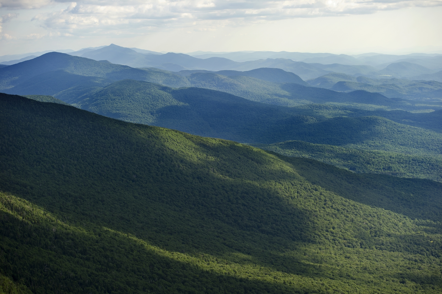
7 Ridiculously Epic Vermont Gap Rides
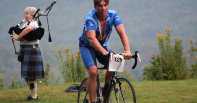
Clip in and hold on. Summer is finally here and Vermont’s mountains are calling. Vermont’s small size, quiet rural roads and mountainous terrain make it one of the few places in the U.S. where it is possible to link, two, four or even six challenging mountain gaps in the span of the day. From Rochester to Jay Peak, you’ll find spirit-crushing ascents with grades as steep as 24 percent (imagine biking up a steep staircase), rewarded by stunning vistas at the top and hair-raising descents on the way back down.
Related: 103 Miles of Pain: The 2015 Gran Fondo Route
Rochester Gap | 10 miles | 1,161 feet elevation gain
A shorter climb, the Rochester Gap climbs east from the town of Rochester 1,500 feet in six miles up Bethel Mountain Road and Camp Brook Road to the top of Bethel Mountain before descending towards the town of Bethel. The road is curvy, with the steepest portion near the center of Rochester. Tack this on to your ride over the Brandon gap for more of a challenge.
Roxbury Gap | 8 miles | 1,497 feet elevation gain
A popular climb for riders in central Vermont, the Roxbury Gap connects the towns of Roxbury and Warren by way of Roxbury Gap Road and Warren Mountain Road. While it and the Rochester Gap are not as steep or as long as the others on this list, it offers an easy extension to an existing gap ride
Sherburne Pass | 23.8 miles | 1,564 feet elevation gain
Vermont Route 4, features significant climbing, no matter whether you start in Woodstock, to the east, or Rutland, to the west. When starting from Rutland, the ascent gradually steepens to the town of Mendon, and then gets even steeper. On the final approach toward the pass, riders pass Pico Mountain ski area and ahead, the looming cliffs on Deer Leap Rock. At an elevation of 2,209, the end of the climb is the Long Trail and the trailhead. A steep, winding descent follows, dropping over 500 feet vertical in about a mile passing the access road to Killington Resort and a turn onto Vermont Route 100. Vermont Route 4 continues a fast descent down to the village of Killington, where it enters a long flat flanked by steep hillsides. End the ride at the parking lot for Killington’s Skyeship Gondola.
NORTHERN VERMONT GAPS
Smugglers’ Notch | 13 miles | 1,239 feet elevation gain
A common starting point is in Jeffersonville at the intersection of Vermont Routes 15 and 108. The climb east towards the notch is gradual for the first five miles. The real work begins after passing the entrance to Smugglers’ Notch Resort, at which point the grade increases from 3 to 9 percent over a seven-mile journey to the top. The road includes grades as steep as 10 percent in the last mile before finishing at an elevation of 2,171 feet. A fast ride down into Stowe features multiple tight switchbacks before finishing in the heart of Stowe Mountain Resort. This ride is popular among local riders and is featured in the Darn Tough Ride, scheduled for Sept. 6.
Jay Peak to Montgomery | 18.7 miles |1,679 feet elevation gain
The stunning views of Jay State Forest are on full display on this approximately 12-mile stretch of Route 242 that connects Jay and Montgomery. Starting in Jay and heading southwest, Route 242 is flanked by the imposing peaks of Jay Peak, Big Jay and Little Jay on the north side of the ride and Gilpin Mountain, Domey’s Dome and Buchanan to the south. The route features a shorter, but steeper climb when starting from the north in Jay. Vermont Route 242 rises 1,600 feet over six miles, passing views of Jay Peak and Big Jay before a fast descent into Montgomery Center.
Hazen’s Notch | 11 miles | 1,287 feet elevation gain
Like Smugglers’ Notch to the south, the steep and winding Route 58 is closed to traffic in the winter. This nine-mile notch has portions of rough dirt road, so more rugged tires are recommended. From Montgomery Center, Route 58 makes a gradual ascent over the first four miles, gaining 852 feet. The final half-mile increases in grade up to 10 percent. After passing the Long Trail, the climb peaks at an elevation of 1,938 feet. Landmarks include Sugarloaf Mountain to the north and Haystack Mountain to the south. The road makes a 2.3-mile descent with steep grades as it crosses the Missisquoi River, ending at the intersection with Vermont Route 100 in Lowell.
SOUTHERN VERMONT
Searsburg Mountain | 25.6 miles | 2,388 elevation gain
From just outside Bennington, Route 9 climbs at a steady grade of about 3 percent for the first five miles, before a series of long, winding climbs to a plateau over Searsburg Mountain. On the way, you’ll pass trailheads for the Long Trail, convenience stores and Prospect Mountain Ski Area. You’ll also approach views of Haystack Mountain. On the descent, stop for a dip at Harriman Reservoir and finish with pancakes at Dots in downtown Wilmington – you’ve earned it.