Hunger Mountain, a Snack-Sized Tour
 An early January rainstorm decimated most of the New England snowpack, and snow was at a premium. Only far-northern Vermont had a fresh six inches of the good stuff, and so I was headed north.
Originally the plan was to ski Mount Elmore with my buddy Gered; however, a lukewarm “snow report” from the locals (“Snowmobilin’ sucks right now”) convinced us to ditch Elmore for Hunger Mountain. Not only is Hunger closer to Montpelier, but it’s also a short hike, making it an excellent backcountry jaunt. A glimpse of Hunger’s wind-loaded upper snowfields from I-89 sealed the deal.
Large snowbanks, which we saw as we pulled into the trailhead after noon, confirmed we had hit pay dirt. Our planned route, the Middlesex Trail, winds slowly up from the Montpelier side until about a quarter-mile from the summit where things get steep.
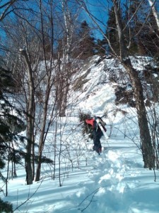
 Given that the lower mountain trail was well tracked out, we threw our skis on our packs, donned crampons, and boot-packed up the mountain. We continued climbing past the junction with the White Rocks trail, postholing up to our thighs as the tracks thinned and the snow deepened. Just before the first steep pitch, we came across a lone snowshoer who confirmed he had packed out a trail all the way to the top. His work meant we had a decent chance of making the summit before nightfall.
The glade gave way to the steep pitch, and we climbed through a narrow choke, debating whether, and how, the chute would be skiable. With a waterfall on one side and a rock wall on the other, a descent was going to be tight.
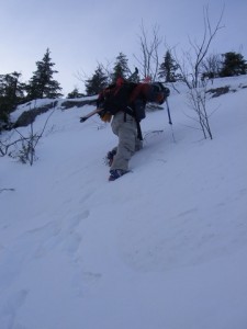
We pushed into another old-growth glade toward the bottom of a steep set of rock ledges. The trail continued to wind around to our right, but we abandoned our predecessor’s tracks and headed straight up the 45-degree, crust-covered rock. Kicking in steps with the crampons, we rejoined the trail as it cut back to our line about 50 yards above.
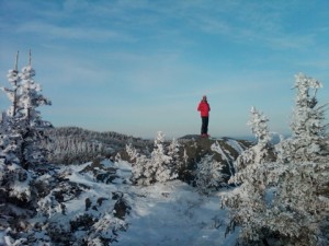
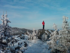
 We navigated the trail across a short snowfield, finally reaching a spruce glen before the last snowfield leading to the top. Short on daylight, we ditched the skis for the last 100 yards and rushed to get our photos on the summit (oh, the shame!). The view was impressive. The cold, dry air allowed us to see the Whites to the east, as well as Camel’s Hump and Mansfield to the west.
With the sun on the horizon, we hurried back down to our skis for the descent. A combination of leftover climbing wax on our skis and a hard windslab made for a difficult start, but after a few turns, we gained confidence for the steep ledges looming below. The 45-degree slope that we casually kick-climbed earlier demanded a careful mix of jump turns and side-sliding, but we managed to reach the bottom.
 At the waterfall, we found fresh pockets of snow and navigated the seemingly unskiable pass to the lower glade.
The final stretch off of the mountain took us through open hardwood glades and back down the logging road to the parking area. Despite the deep snow, we had gone up and back in under four hours.
So even if the streets of Montpelier don’t boast any snowbanks, and the folks at the Elmore Store are less than enthusiastic about the snowmobiling, Hunger may still hold the goods. If you’re short on time and looking for a backcountry tour, get your fill on Hunger Mountain.

