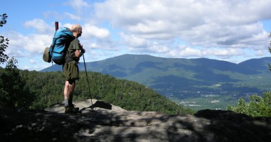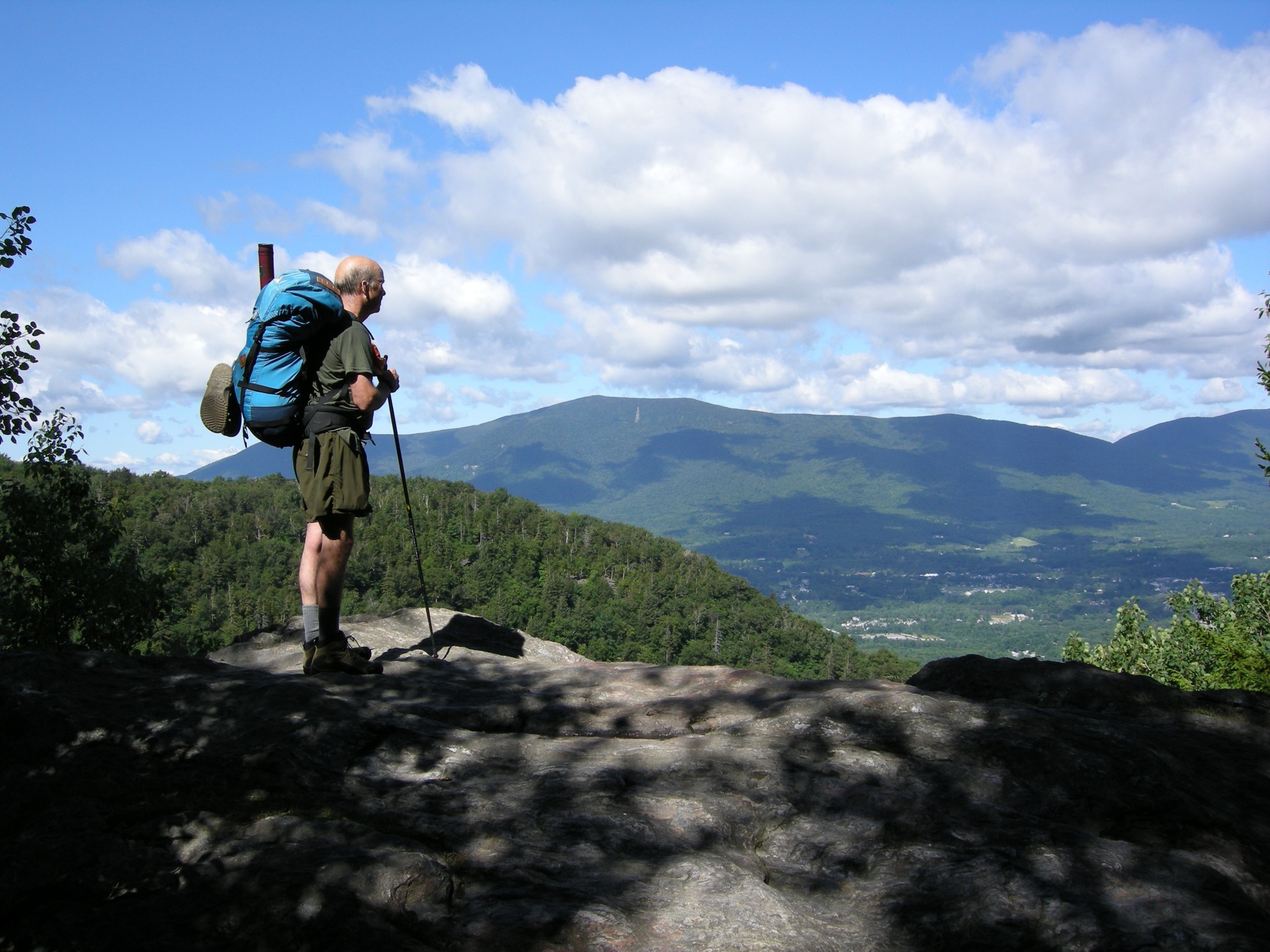
8 Favorite Late Summer Hikes
The temperatures are cool, the sky clear and crisp, and the bugs are long gone. The leaves, deep green from the long days of summer, are just starting to get the slightest hint of red, orange or yellow at their tips. Foliage is just around the corner, but for now, summer is hanging on.
Here are eight hikes that make for an exciting day or, pack up and go for multiple days by stringing a few together.
Jerusalem Trail to Mt. Stark, Starksboro, Vt.
This 6.8-mile roundtrip hike takes a gradual climb through mostly hardwood forest. The last portion of the trail is steep just before connecting to the Long Trail at Orvis Outlook. The Glen Ellen Lodge, which is an enclosed shelter for overnight camping, is .3 miles away. Heading .9 miles north to the summit of Mt. Stark, the elevation changes very little and there are views to the east and west. Heading to the ski lifts near the summit there are views north and to the east.
Getting there: In South Starksboro turn south off Vt. 17 onto Jerusalem Road. After 1.2 miles on Jersualem Rd. bear left on Dwire Rd. and follow it 0.5 miles to the trailhead. There is no specified parking area and space is limited on the roadside, but the trail offers killer views of the trees in bloom, and you won’t find huge crowds.
Stratton Mountain, Stratton, Vt.
Length: 6.8 miles, out and back; 9 miles with Stratton Pond loop.
This section of the Appalachian/Long Trail begins at a gradual ascent from the parking area through a mixed hard/softwood forest. At 1.4 miles the trail crosses Forest Road 341, and begins a steeper climb up the mountain. The trail flattens out while following a ridgeline, then climbs again using switchbacks. At the summit of Stratton Mountain, you can climb a fire tower with views of Sommerset Reservoir and Mount Snow to the south; to the southwest, Glastonbury Mountain; to the west, Mount Equinox and the Taconic Range. You can return the way you came, or you can extend the hike for a possible overnight trip by continuing from the summit to Stratton Pond and then follow the Stratton Pond Trail 4.6 miles back to the parking lot.
Getting there: Turn off Route 100 to the Arlington-West Wardsboro Road (also known as the Kelly Stand Road, the street sign reads Stratton-Arlington Rd). Head west on Arlington-West Wardsboro Road for 7.1 miles to a large parking area on the north side of the road. The trailhead is marked by a United States Forest Service (USFS) sign.
Mount Hunger, Waterbury, Vt.
This 4.4-mile roundtrip hike is a short drive from Waterbury Center and gains 2,300 feet in a straight shot uphill to the summit, meaning you gain elevation with every step. The 3,539-foot high summit features views of the Mount Mansfield and Camel’s Hump to the west and Groton State Forest to the east. On clear days, you can see as far as the Presidential Range in New Hampshire. Accessible, short and popular, it’s a great half-day or shorter hike for most.
Getting there: From the town of Waterbury, head north on Vermont 100 and take the first right after the Ben & Jerry’s Factory onto Guptil Road. After .9 miles, take the next right onto Kneeland Flats, which turns into Ripley Road. At the intersection with Sweet Road, turn right. Trailhead parking is on the right.
Battell Trail to Mount Abraham, Lincoln, Vt.
Mount Abraham via the Battell Trail is a 5.8-mile round trip with a 2,500-foot elevation gain. The trail reaches the Long Trail just below the Battell Shelter. The route then follows the Long Trail north up some steep grades of exposed bedrock before reaching more open views at the summit. Looking north, you can see, Mount Mansfield, Mount Ellen and Camel’s Hump. To the south are Mount Grant, the Breadloaf Wilderness and even further south, the ski slopes of Killington. The summit of Sugarbush South (Lincoln Peak) is just a half-mile to the east along the Long Trail.
Getting there: From Lincoln, travel north on Quaker Street. Turn right Alder Hill Road and continue onto US Forest Road 350. After two miles, parking is on the right. An alternative route is to go to the top of Lincoln Gap, park and take the trail for two miles to the summit; it’s slightly shorter and less steep.
Mount Hor, Sutton, Vt.
While the summit of this peak is wooded, the trail leads to two breath-taking vantage points on the cliffs, with views of Vermont’s deepest lake below, Lake Willoughby. Carved by glaciers, Mount Hor’s unique characteristic is its sheer rock face plunging in Lake Willoughy, which plunges another 312 feet to the lake bottom. The cliffs have been designated as a National Natural Landmark.
From the parking area, the trail follows a hillside walk through maples and nettles to a junction at .7 miles. From here, hike uphill on the faintly-blazed West Branch Trail to the wooded summit. Return to the trail junction and follow the East Branch/Wheeler Pond Trail along the ridgeline to the overlooks above Lake Willoughby. The cliffs are also a spring nesting ground for Peregrine Falcons and provide a habitat for some endangered arctic and cliff-alpine plants, so tread lightly. As an alternative, you can hike Mount Pisgah, with parking just a short distance away from the Mount Hor trailhead.
Getting there: To reach the Hawkes Trailhead, follow the CCC road from the Mount Pisgah South Trail parking lot. Bear right at a fork and continue to the trailhead 1.8 miles from Vermont 5A. There is a small parking area on the right.
Mount Moosalamoo, Salisbury, Vt.
A classic hike with views of the Champlain Valley and Lake Dunmore, the trails around Mount Moosalamoo in the Moosalamoo National Recreation Area can make for an exciting day hike or an overnight trip. The trail starts at the Silver Lake/Falls of Lana trailhead parking lot just 1/8 mile south of the Branbury State Park entrance. The trail crosses the north branch of Voter Brook and climbs to the Oak Ridge Trail at 2.5 miles, a climb of 1,530 feet. The summit of Mt. Moosalamoo is 0.4 miles south on the Oak Ridge Trail. The trail goes past Rattlesnake Cliffs with spectacular views of beautiful Lake Dunmore, Fern Lake and Silver Lake, as well as the Champlain Valley, Adirondacks and peaks to the south. Other hikes, or mountain biking, along Chandler Ridge and camping at Silver Lake’s designated sites can make this area good for multiple day excursions.
Getting there: Follow Vermont 53 north about six miles from Route 73 at Forest Dale, or from Middlebury, go south on Route 7 for about 8 miles, turn east on Route 53 and follow it around Lake Dunmore south for 3.5 miles. Branbury State Park is on the east side of Lake Dunmore and home to a cozy campground. Rock climbing on solid 80-foot cliffs is nearby.
Mount Ascutney via Weathersfield Trail, Ascutney, Vt.
The moderately challenging 3-mile Weathersfield Trail climbs through Ascutney State Park past waterfalls under hardwood canopy, passing scenic outlooks and geological features unique to Vermont. At the summit, the watchtower rewards hikers with views of Vermont’s Green Mountains, New Hampshire’s White Mountains and the Berkshires in Massachusetts.
Getting there: Take exit 8 (Ascutney off I-91 to Vermont 131 west.) Drive 3.3 miles to Cascade Falls Road and turn right. Bear left at the fork and continue to a right turn .3 miles later. Drive up a short, steep hill to the parking lot and the Ascutney State park information board.
Deer Leap Mountain, Mendon, Vt.
This 2-mile hike is an easy day hike that includes portions of the Long and Appalachian trails, as well as a side trail that leads to stunning views of Pico Mountain from the Deer Leap Cliffs. The cliffs are a popular rock climbing area as well. The hike starts on the north side of US 4 and follows the blue-blazed Sherburne Pass trail until a junction at .5 miles. Continue on the Appalachian Trail until another junction for the Deer Leap Trail just a few steps further, which will bring you to the cliffs.
Getting there: From Rutland, drive east on U.S. Route 4 for about 9 miles, driving past the sign for Pico resort, until you arrive at the Inn at the Long Trail at the top of Sherburne Pass. The parking lot is on the right side of the road (facing east.)
Any others you’d like to add to this list? Let us know and we’ll add them!